Reise Know-How Verlag
Korfu = Corfu = Corfou = Corfú
Korfu = Corfu = Corfou = Corfú
Regular price
$14.95 USD
Regular price
Sale price
$14.95 USD
Unit price
per
Shipping calculated at checkout.
Low stock
Couldn't load pickup availability
- SKU: RKH_CORFU_13
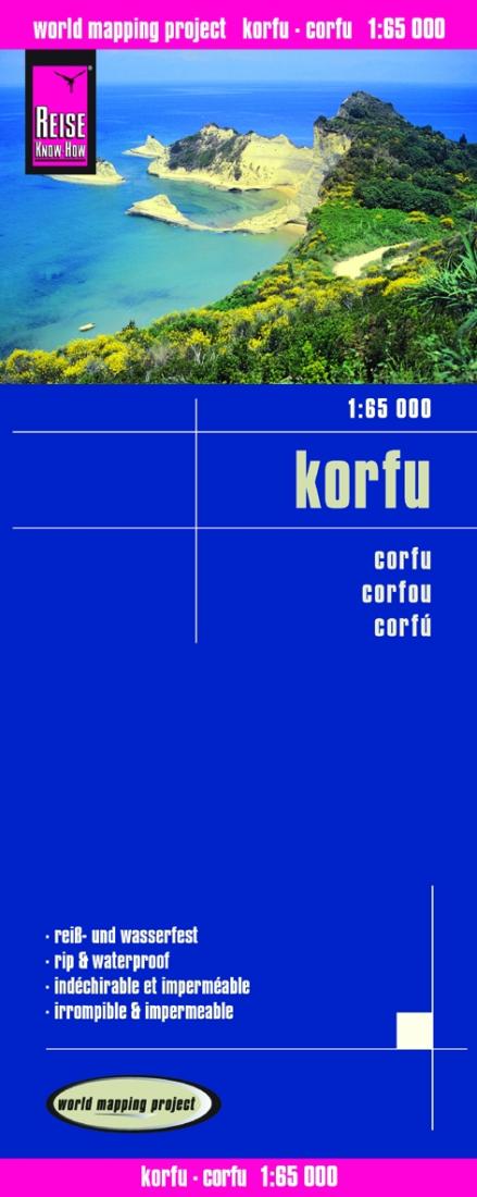
- Corfu on clear, waterproof and tear-resistant, indexed map with topographic and tourist information, published by Reise Know-How as part of their highly acclaimed World Mapping Project. Topography is shown by altitude colouring with contours and spot heights, and includes seasonal streams. Road network shows local roads and tracks, gives driving distances and indicates locations of petrol stations. Ferry routes to Igoumenitsa, Albania, Italy and the nearby Paxos are shown on a separate inset which presents Corfu with the adjoining mainland where campsites are also marked. Symbols show locations of various places in interest, including viewpoints, beaches, archaeological sites, churches and monasteries, campsites, harbours and marinas, etc. Names of towns and villages are in both scripts on the map and in the accompanying index; geographical information and places of interest are in Roman alphabet only. The map has both a UTM grid and latitude and longitude at intervals of 5’. Map legend includes English. *”World Mapping Project”* is an extensive series of maps at varying scales, aiming to provide coverage of countries and regions worldwide using clear, well presented cartography with both topographic and tourist information
- Type: Folded Map
- Subtype: Road
- Language: German
- Publication Date: 2013-06-01
- Scale: 1:65,000
- Regions Covered: Balkans, Europe, Mediterranean Sea
- Countries Covered: Greece
- ISBN: 9783831771875
- Folded Size: 4.72" (W) x 10.24" (H)
- Unfolded Size: 39.37" (W) x 27.56" (H)
- Weight: 2.8 oz