National Geographic Maps
1899 A Chart showing part of the Coast of NW America Side 1
1899 A Chart showing part of the Coast of NW America Side 1
Regular price
$19.95 USD
Regular price
Sale price
$19.95 USD
Unit price
per
Shipping calculated at checkout.
Couldn't load pickup availability
- SKU: PODHNG_US_NW_99_1
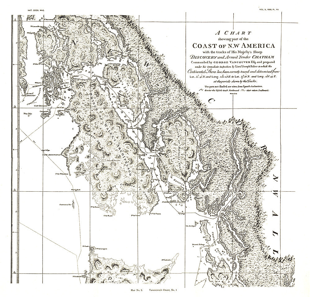
- A Chart Showing Part of the Coast of NW America (Vancouver's Chart, No. 1) shows half of a chart of the coast of the Alaskan Panhandle and British Columbia including the Prince of Wales Archipelago, New Cornwall, and the Duke of Clarence's Strait. An antique black and white map perfect for framing, this map was published in November 1899 as half of a two-map set with the article "The Alaskan Boundary."
- Subtype: Wall Art
- Language: English
- Publication Date: 1899-06-01
- Countries Covered: United States
- States Covered: Washington
- MPN: HM18991101
- Folded Size: N/A
- Unfolded Size: 18.75" (W) x 18" (H)
- Weight: 16 oz