National Geographic Maps
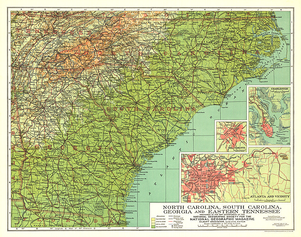
1926 North Carolina, South Carolina, Georgia and Eastern Tennessee Map
1926 North Carolina, South Carolina, Georgia and Eastern Tennessee Map
Regular price
$19.95 USD
Regular price
Sale price
$19.95 USD
Unit price
per
Shipping calculated at checkout.
Couldn't load pickup availability
- SKU: PODHNG_US_NC_SC_GA_TN_26
- Published in September 1926, this map of North Carolina, South Carolina, Georgia and Eastern Tennessee highlights these southern states just over sixty years after major events of the Civil War took place including the burning of Atlanta. Inset maps of the cities of Atlanta, Charlotte, and Charleston provide greater detail of the region.
- Subtype: Political
- Language: English
- Publication Date: 1926-06-01
- Countries Covered: United States
- MPN: HM19260900
- Folded Size: N/A
- Unfolded Size: 19.75" (W) x 15.75" (H)
- Weight: 16 oz