National Geographic Maps
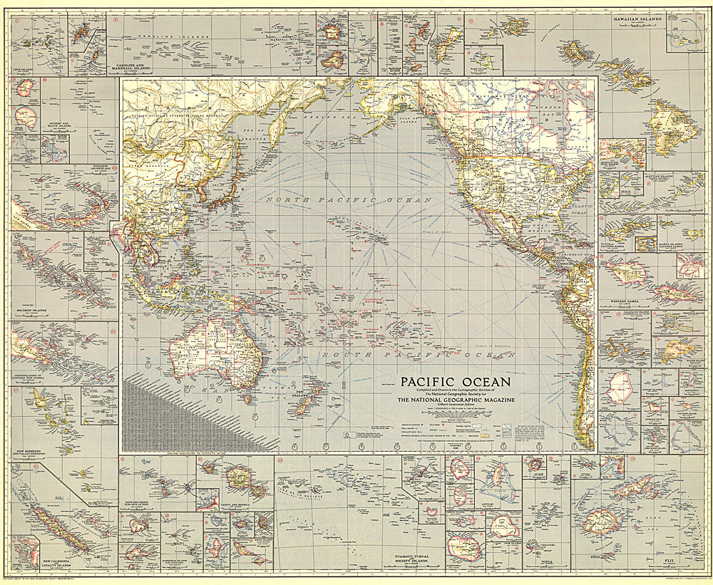
1936 Pacific Ocean Map
1936 Pacific Ocean Map
Regular price
$34.95 USD
Regular price
Sale price
$34.95 USD
Unit price
per
Shipping calculated at checkout.
Couldn't load pickup availability
- SKU: PODHNG_PAC_O_36
- Explore the islands and coastlines of the Pacific with this thorough map of the region. With inset maps of dozens of islands and instructive details such as ship routes, naval bases, time zone boundaries and more, this map makes a wonderful collector's piece. Published in December 1936, it accompanied an article entitled "Flying the Pacific."
- Subtype: Wall Art
- Language: English
- Publication Date: 1936-06-01
- Regions Covered: Pacific Ocean
- MPN: HM19361200
- Folded Size: N/A
- Unfolded Size: 37.75" (W) x 31" (H)
- Weight: 16 oz