National Geographic Maps
1940 Southwestern United States Map
1940 Southwestern United States Map
Regular price
$29.95 USD
Regular price
Sale price
$29.95 USD
Unit price
per
Shipping calculated at checkout.
Couldn't load pickup availability
- SKU: PODHNG_US_SW_40
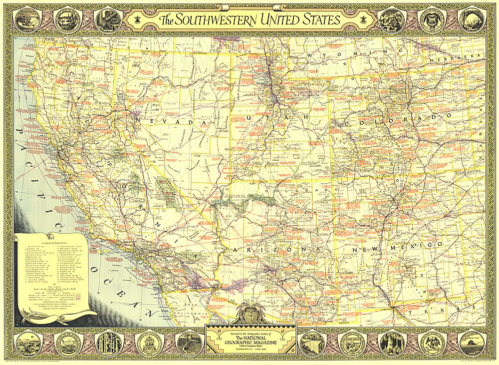
- The Southwestern United States map of June 1940 contains an abundance of notes on historical sites and places of interest as well as the routes of explorers and the dates of their expeditions. The map border contains scenic illustrations and the state seals of the southwestern states. A unique collector's map.
- Subtype: Political
- Language: English
- Publication Date: 1940-06-01
- Countries Covered: United States
- MPN: HM19400600
- Folded Size: N/A
- Unfolded Size: 34.25" (W) x 25" (H)
- Weight: 16 oz