National Geographic Maps
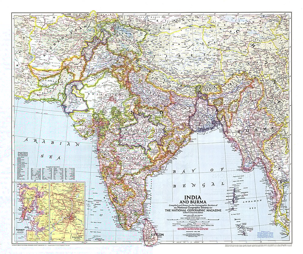
1946 India and Burma Map
1946 India and Burma Map
Regular price
$29.95 USD
Regular price
Sale price
$29.95 USD
Unit price
per
Shipping calculated at checkout.
Couldn't load pickup availability
- SKU: PODHNG_IND_BUR_46
- Published in April 1946 just a year before India and Pakistan gained their independence, this map of India and Burma details the numerous provinces of the region. Half of a two-map set, it accompanied the "Political Subdivisions of India" map and three articles on India.
- Subtype: Political
- Language: English
- Publication Date: 1946-06-01
- Countries Covered: India, Myanmar (Burma)
- MPN: HM19460401
- Folded Size: N/A
- Unfolded Size: 31" (W) x 26" (H)
- Weight: 16 oz