National Geographic Maps
1947 Southeastern United States Map
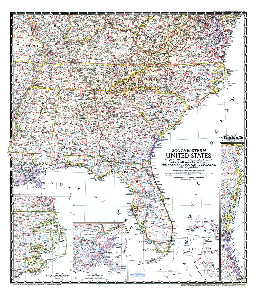
1947 Southeastern United States Map
Regular price
$29.95 USD
Regular price
Sale price
$29.95 USD
Unit price
per
Shipping calculated at checkout.
Couldn't load pickup availability
- SKU: PODHNG_US_SE_47
- The Southeastern United States map appeared in National Geographic Magazine in February 1947. Particular attention is paid to the Atlantic coastlines with insets of the South Carolina and Georgia coasts, and Cape Hatteras and Norfolk. It also features an inset of the lower Mississippi region including New Orleans.
- Subtype: Political
- Language: English
- Publication Date: 1947-06-01
- Countries Covered: United States
- MPN: HM19470200
- Folded Size: N/A
- Unfolded Size: 27.25" (W) x 31.25" (H)
- Weight: 16 oz