National Geographic Maps
1948 North Central United States Map
1948 North Central United States Map
Regular price
$29.95 USD
Regular price
Sale price
$29.95 USD
Unit price
per
Shipping calculated at checkout.
Couldn't load pickup availability
- SKU: PODHNG_US_N_C_48
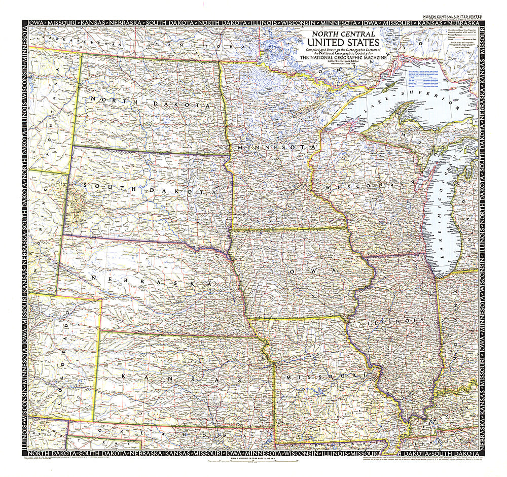
- The North Central United States map is the sixth in a series of sectional maps of the United States. Published in June 1948 with two articles including "Mapping the Nation's Breadbasket," it provides a thorough look at the states of North Dakota, South Dakota, Minnesota, Nebraska, Iowa, Wisconsin, Illinois, Missouri, and Kansas.
- Subtype: Political
- Language: English
- Publication Date: 1948-06-01
- Countries Covered: United States
- MPN: HM19480600
- Folded Size: N/A
- Unfolded Size: 29" (W) x 27.25" (H)
- Weight: 16 oz