National Geographic Maps
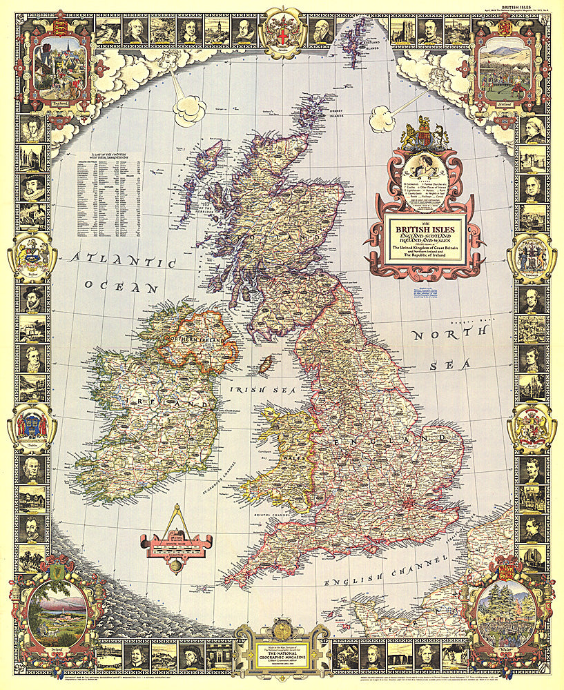
1949 British Isles Map
1949 British Isles Map
Regular price
$29.95 USD
Regular price
Sale price
$29.95 USD
Unit price
per
Shipping calculated at checkout.
Couldn't load pickup availability
- SKU: PODHNG_UK_49
- With its elaborate, illustrated border and stylish legend, this map of the British Isles was made for framing. Published in April 1949, it is both a work of art as well as an informative map, containing an abundance of places of interest including cathedrals, ruins, battlefields, and more.
- Subtype: Political
- Language: English
- Publication Date: 1949-06-01
- Countries Covered: United Kingdom
- MPN: HM19490400
- Folded Size: N/A
- Unfolded Size: 26.5" (W) x 32.25" (H)
- Weight: 16 oz