National Geographic Maps
1950 South America Map
1950 South America Map
Regular price
$34.95 USD
Regular price
Sale price
$34.95 USD
Unit price
per
Shipping calculated at checkout.
Couldn't load pickup availability
- SKU: PODHNG_AMER_S_50
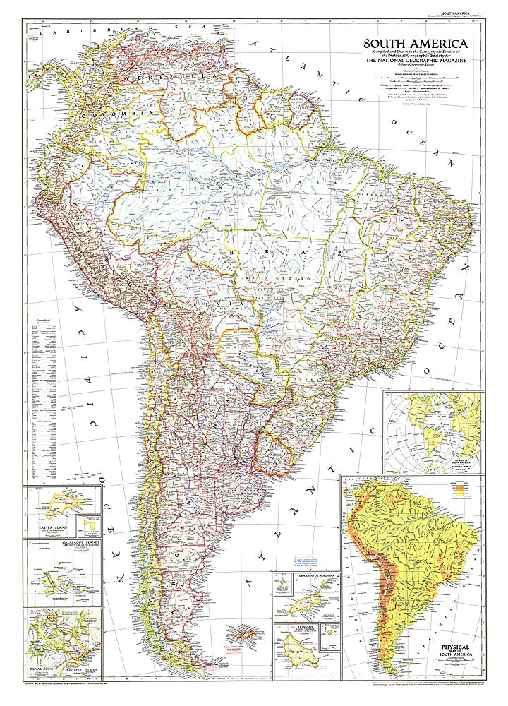
- Published in October 1950 with three articles including "Peru, Homeland of the Warlike Inca," this map of South America is the first to show airports on the continent. Land transportation was growing as well at this time, as evidenced by the roads and railways under construction.
- Subtype: Political
- Language: English
- Publication Date: 1950-06-01
- Regions Covered: South America
- MPN: HM19501000
- Folded Size: N/A
- Unfolded Size: 29" (W) x 40.5" (H)
- Weight: 16 oz