National Geographic Maps
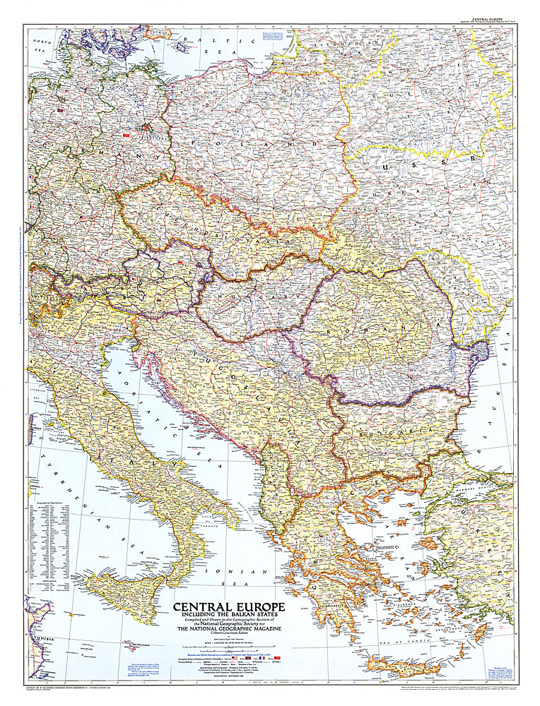
1951 Central Europe Map
1951 Central Europe Map
Regular price
$34.95 USD
Regular price
Sale price
$34.95 USD
Unit price
per
Shipping calculated at checkout.
Couldn't load pickup availability
- SKU: PODHNG_EUR_C_51
- This map of Central Europe and the Balkan States captures Europe still in the recovery stages after World War II. Published in September 1951, it includes American, British, French, and Russian occupation zones and the newly drawn boundaries of Russia an
- Subtype: Political
- Language: English
- Publication Date: 1951-06-01
- Regions Covered: Europe
- MPN: HM19510900
- Folded Size: N/A
- Unfolded Size: 30" (W) x 39.25" (H)
- Weight: 16 oz