National Geographic Maps
1952 The Far East Map
1952 The Far East Map
Regular price
$34.95 USD
Regular price
Sale price
$34.95 USD
Unit price
per
Shipping calculated at checkout.
Couldn't load pickup availability
- SKU: PODHNG_ASIA_FAR_E_52
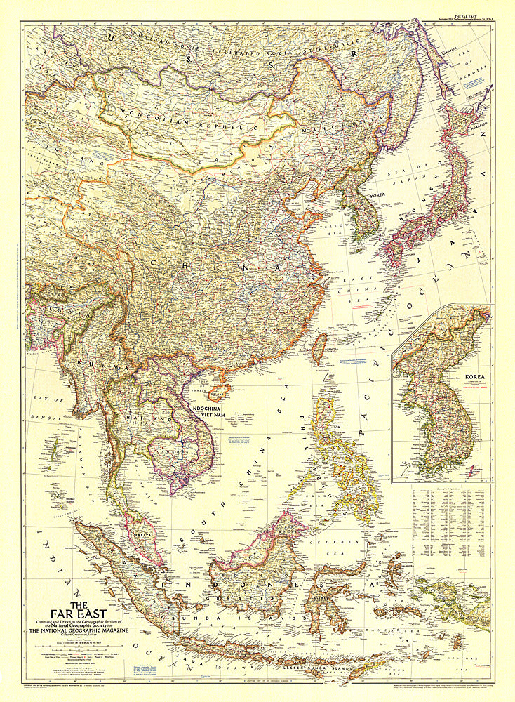
- In the Far East in early 1950s, two wars raged: the Korean War and the First Indochina War. This map of the region, published in September 1952 with the article "Indochina Faces the Dragon," includes an inset map of Korea with the battle line noted as of
- Subtype: Political
- Language: English
- Publication Date: 1952-06-01
- Regions Covered: Asia
- MPN: HM19520900
- Folded Size: N/A
- Unfolded Size: 30" (W) x 40.75" (H)
- Weight: 16 oz