National Geographic Maps
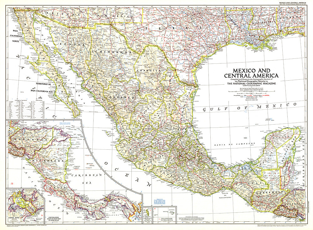
1953 Mexico and Central America Map
1953 Mexico and Central America Map
Regular price
$34.95 USD
Regular price
Sale price
$34.95 USD
Unit price
per
Shipping calculated at checkout.
Couldn't load pickup availability
- SKU: PODHNG_AMER_C_53
- This map is unique in that it combines Mexico and Central America, showing the expansion of transportation in the region as roads and parts of the Pan American Highway were being built. At the time of this publication in March 1953, many regions of Central America relied on air travel as the principal means of modern transportation. Honduras in particular had more airports that roadways.
- Subtype: Political
- Language: English
- Publication Date: 1953-06-01
- Regions Covered: North America
- MPN: HM19530300
- Folded Size: N/A
- Unfolded Size: 37" (W) x 27.25" (H)
- Weight: 16 oz