National Geographic Maps
1957 Heavens
1957 Heavens
Regular price
$34.95 USD
Regular price
Sale price
$34.95 USD
Unit price
per
Shipping calculated at checkout.
Couldn't load pickup availability
- SKU: PODHNG_HEAV_57
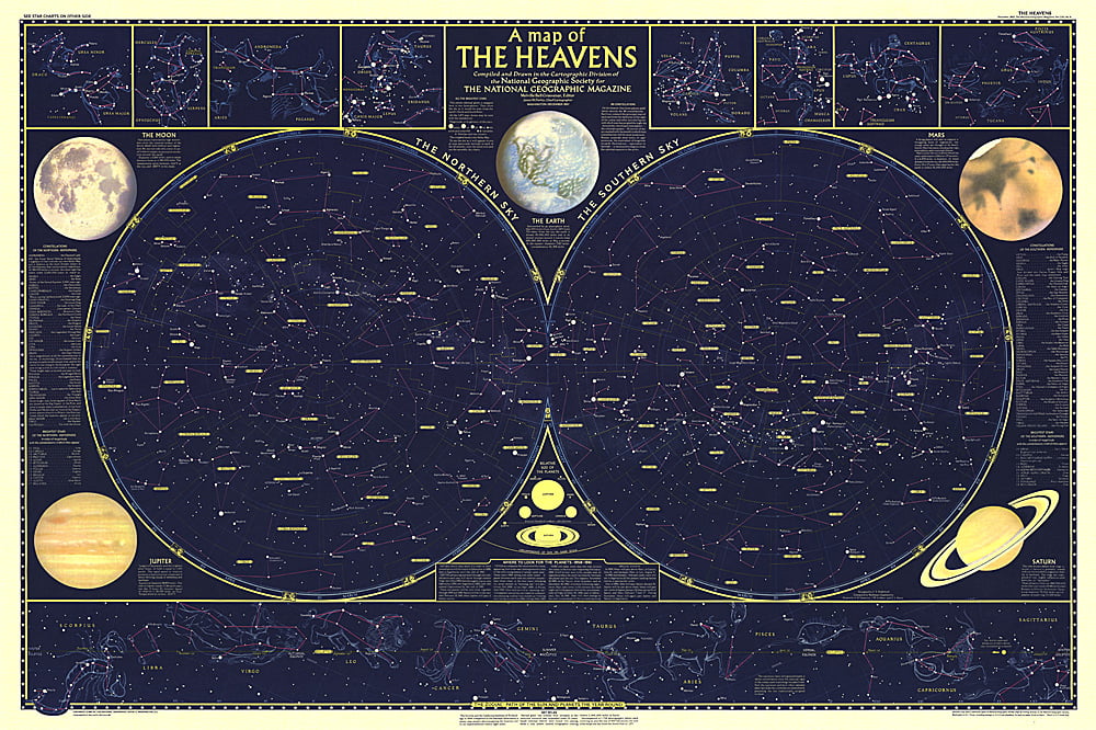
- Published in December 1957, this map is half of a two-part map of the heavens that appeared with the article "How Man-made Satellites Can Affect Our Lives." It shows the constellations and brightest stars as seen from both the northern and southern hemispheres and also includes information on the planets including their relative size.
- Subtype: Wall Art
- Language: English
- Publication Date: 1957-06-01
- Regions Covered: Space
- MPN: HM19571201
- Folded Size: N/A
- Unfolded Size: 42" (W) x 28" (H)
- Weight: 16 oz


