National Geographic Maps
1959 Southwestern United States Map
1959 Southwestern United States Map
Regular price
$24.95 USD
Regular price
Sale price
$24.95 USD
Unit price
per
Shipping calculated at checkout.
Couldn't load pickup availability
- SKU: PODHNG_US_SW_59
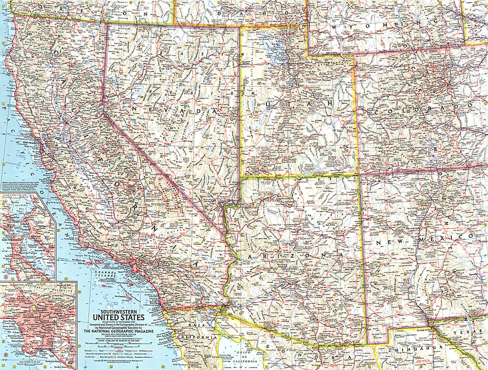
- This map of the Southwestern United States features California, Nevada, Utah, Arizona, New Mexico, and Colorado. Includes detailed insets of the densely-populated San Francisco Bay and Los Angeles metropolitan areas. Published in November 1959, it is part of a series of six sectional maps of the United States published between 1958 and 1961.
- Subtype: Political
- Language: English
- Publication Date: 1959-06-01
- Countries Covered: United States
- MPN: HM19591100
- Folded Size: N/A
- Unfolded Size: 24.75" (W) x 18.75" (H)
- Weight: 16 oz