National Geographic Maps
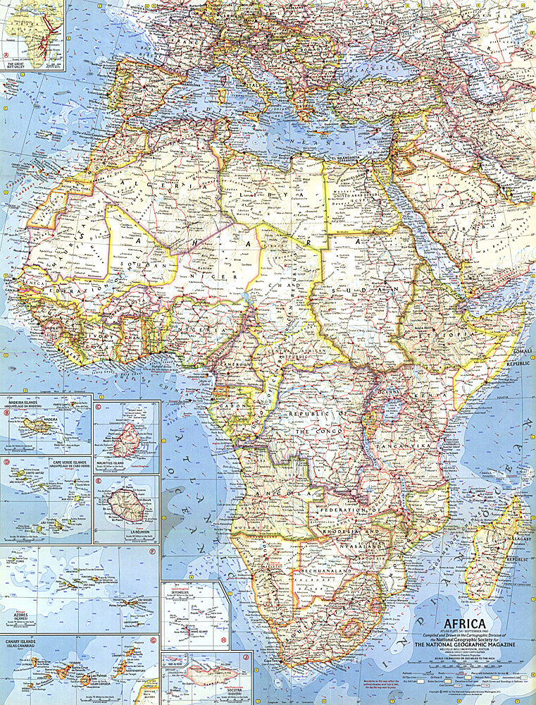
1960 Africa Map
1960 Africa Map
Regular price
$24.95 USD
Regular price
Sale price
$24.95 USD
Unit price
per
Shipping calculated at checkout.
Couldn't load pickup availability
- SKU: PODHNG_AFR_60
- This map was created when many African nations were struggling and winning their independence from colonization. Features country boundaries as they existed on July 15, 1960. Published in September 1960 with three articles including "Africa: The Winds of Freedom Stir a Continent."
- Subtype: Political
- Language: English
- Publication Date: 1960-06-01
- Regions Covered: Africa
- MPN: HM19600900
- Folded Size: N/A
- Unfolded Size: 19" (W) x 24.75" (H)
- Weight: 16 oz