National Geographic Maps
1960 Northwestern United States Map
1960 Northwestern United States Map
Regular price
$24.95 USD
Regular price
Sale price
$24.95 USD
Unit price
per
Shipping calculated at checkout.
Couldn't load pickup availability
- SKU: PODHNG_US_NW_60
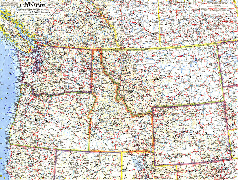
- This map of the Northwestern United States features Washington, Oregon, Idaho, Montana, and Wyoming. Intercontinental ballistic missile bases make it evident that this map was printed during a particularly strained period of the Cold War. Published in April 1960, it is part of a series of six sectional maps of the United States published between 1958 and 1961.
- Subtype: Political
- Language: English
- Publication Date: 1960-06-01
- Countries Covered: United States
- MPN: HM19600400
- Folded Size: N/A
- Unfolded Size: 25" (W) x 18.75" (H)
- Weight: 16 oz