National Geographic Maps
1966 Northwestern Africa Map
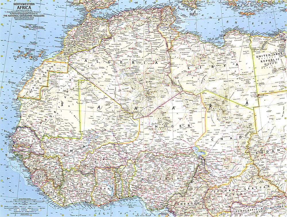
1966 Northwestern Africa Map
Regular price
$24.95 USD
Regular price
Sale price
$24.95 USD
Unit price
per
Shipping calculated at checkout.
Couldn't load pickup availability
- SKU: PODHNG_AFR_NW_66
- This detailed map of northwestern Africa was published in August 1966 with the article "Freedom Speaks French in Ouagadougou." Ouagadougou is the capital of the Republic of Upper Volta (later renamed Burkina Faso) which gained its independence from France in 1960.
- Subtype: Political
- Language: English
- Publication Date: 1966-06-01
- Regions Covered: Africa
- MPN: HM19660800
- Folded Size: N/A
- Unfolded Size: 25" (W) x 18.75" (H)
- Weight: 16 oz