National Geographic Maps
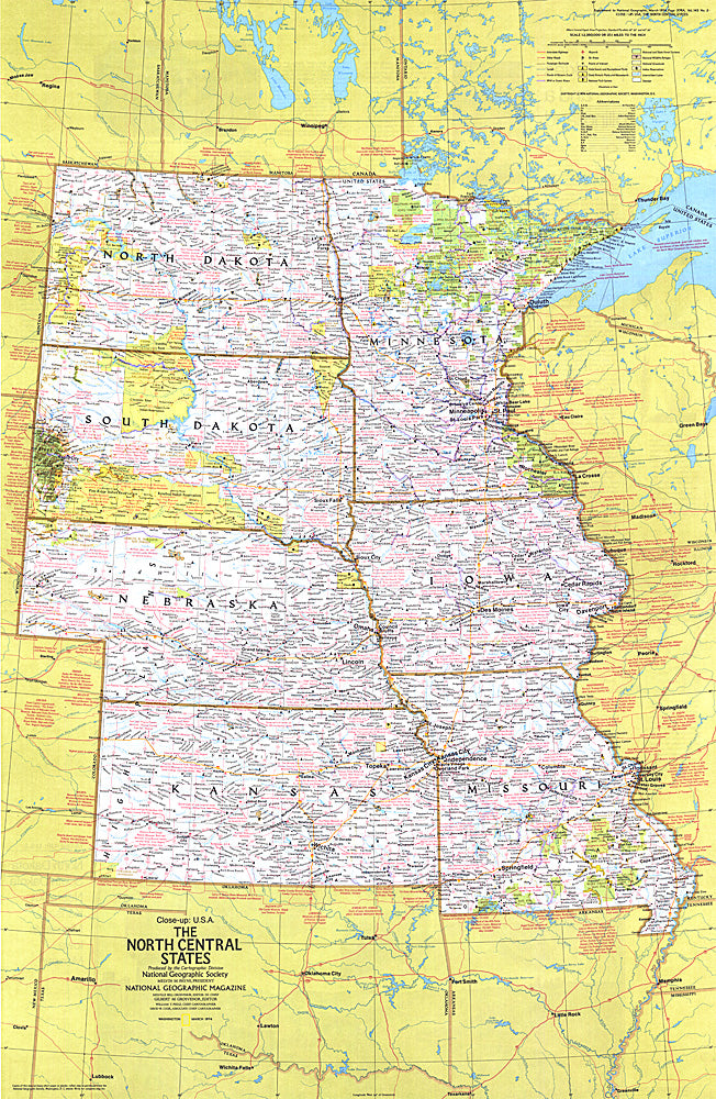
1974 Close-up USA, North Central States Map
1974 Close-up USA, North Central States Map
Regular price
$29.95 USD
Regular price
Sale price
$29.95 USD
Unit price
per
Shipping calculated at checkout.
Couldn't load pickup availability
- SKU: PODHNG_US_N_C_74
- This map of the North Central United States lets you explore the nation's heartland. Features a wealth of travel and tourism information, including national and state parks, festivals, events, and historic points of interest, as well as an abundance of historical notes. Published in March 1974 as part of the "Close-up: U.S.A." series, with the travel poster "North Dakota, South Dakota, Nebraska, Kansas, Minnesota, Iowa, Missouri: Open Skies and Rolling Land."
- Subtype: Wall Art
- Language: English
- Publication Date: 1974-06-01
- Countries Covered: United States
- MPN: HM19740301
- Folded Size: N/A
- Unfolded Size: 22.75" (W) x 35" (H)
- Weight: 16 oz