National Geographic Maps
1975 Close-up USA, Western New England Map
1975 Close-up USA, Western New England Map
Regular price
$29.95 USD
Regular price
Sale price
$29.95 USD
Unit price
per
Shipping calculated at checkout.
Couldn't load pickup availability
- SKU: PODHNG_US_N_ENG_W_75
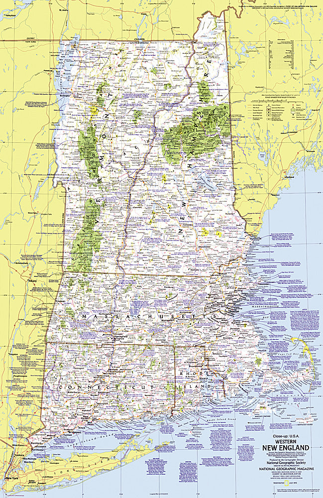
- This map lets you explore the Western New England region of the United States. Includes a wealth of travel and tourism information as well as an abundance of historical notes. Published in July 1975 as part of the "Close-up: U.S.A." series, with an article on Cape Cod and the travel poster "New Hampshire, Vermont, Massachusetts, Rhode Island, Connecticut: Mountains, Seacoast, and a Living Legacy."
- Subtype: Wall Art
- Language: English
- Publication Date: 1975-06-01
- Countries Covered: United States
- MPN: HM19750701
- Folded Size: N/A
- Unfolded Size: 22.75" (W) x 35" (H)
- Weight: 16 oz