National Geographic Maps
1976 Close-up USA, Mid-Atlantic States Map
1976 Close-up USA, Mid-Atlantic States Map
Regular price
$29.95 USD
Regular price
Sale price
$29.95 USD
Unit price
per
Shipping calculated at checkout.
Couldn't load pickup availability
- SKU: PODHNG_US_MID_AT_76
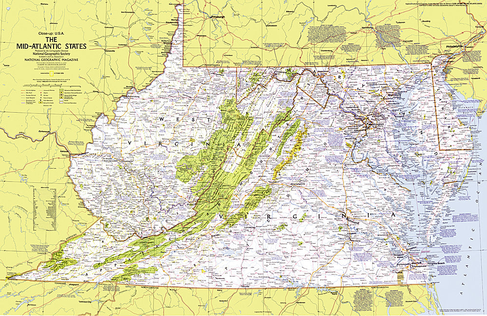
- This map details the Mid-Atlantic United States. Explore the earliest English settlements in North America, Revolutionary War and Civil War sites, and the nation's capital. Published in October 1976 as part of the "Close-up: U.S.A." series, with the travel poster "Maryland, Virginia, Delaware, West Virginia: Beckoning Land Beside Bay and Sea" and two articles on the Potomac River.
- Subtype: Wall Art
- Language: English
- Publication Date: 1976-06-01
- Countries Covered: United States
- MPN: HM19761001
- Folded Size: N/A
- Unfolded Size: 35" (W) x 22.75" (H)
- Weight: 16 oz