National Geographic Maps
1977 Close-up USA, Illinois, Indiana, Ohio, Kentucky
1977 Close-up USA, Illinois, Indiana, Ohio, Kentucky
Regular price
$29.95 USD
Regular price
Sale price
$29.95 USD
Unit price
per
Shipping calculated at checkout.
Couldn't load pickup availability
- SKU: PODHNG_US_IL_IN_OH_KY_77
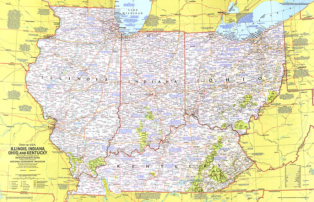
- This regional map of the United States highlights the states of Illinois, Indiana, Ohio, and Kentucky. From the shores of the Great Lakes to the rolling hills of Kentucky, this region boasts unique historic attractions, including the birthplaces of Abraham Lincoln and aviation pioneers Wilbur and Orville Wright, John Glenn, and Neil Armstrong. Published in February 1977 as part of the "Close-up: U.S.A." series, with the travel poster "Tennessee, North Carolina, South Carolina, Georgia, Alabama, and Mississippi."
- Subtype: Wall Art
- Language: English
- Publication Date: 1977-06-01
- Countries Covered: United States
- MPN: HM19770201
- Folded Size: N/A
- Unfolded Size: 35" (W) x 22.5" (H)
- Weight: 16 oz