National Geographic Maps
1983 Making of America, Atlantic Gateways Map
1983 Making of America, Atlantic Gateways Map
Regular price
$29.95 USD
Regular price
Sale price
$29.95 USD
Unit price
per
Shipping calculated at checkout.
Couldn't load pickup availability
- SKU: PODHNG_US_ATL_83
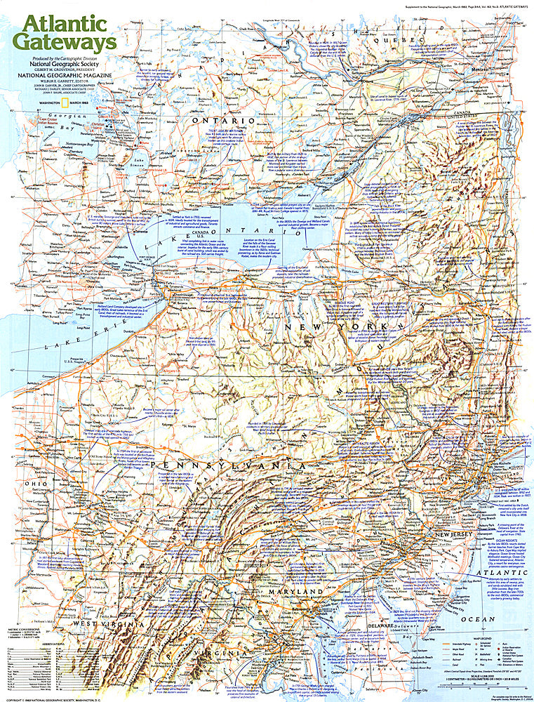
- From the early settlements of European colonists to the great cities of New York, Philadelphia, and Washington, D.C., the Atlantic Gateways region of the United States has a tremendous historical and modern day presence. This educational map explores this vital region, focusing on the central states along the eastern seaboard. Published in March 1983 as part of the "Making of America" series.
- Subtype: Historical
- Language: English
- Publication Date: 1983-06-01
- Countries Covered: United States
- MPN: HM19830301
- Folded Size: N/A
- Unfolded Size: 20.5" (W) x 27" (H)
- Weight: 16 oz