Reise Know-How Verlag
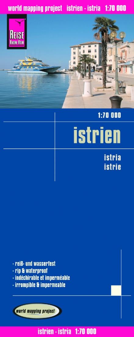
Istrien = Istria
Istrien = Istria
Regular price
$14.95 USD
Regular price
Sale price
$14.95 USD
Unit price
per
Shipping calculated at checkout.
Low stock
Couldn't load pickup availability
- SKU: RKH_ISTRIA_12
- Indexed, waterproof and tear-resistant road map of Istria with topographic and tourist information, published by Reise Know-How as part of their highly acclaimed World Mapping Project. The map is double-sided to provide the best balance between a good scale and a convenient size sheet. Topography is presented by altitude colouring with contours and names of numerous peaks and hills, particularly in the more mountainous eastern region north of Opatija. Road network includes unsurfaced local roads and tracks, and indicates driving distances on main routes. Railways are shown and ports indicate ferry routes to the nearby islands. National parks protected areas are marked and an extensive range of symbols highlight archaeological remains and UNESCO world heritage sites, churches and castles, viewpoints, marinas, golf courses, beaches, etc. Campsites, refuges, guesthouses and other selected accommodation are also marked. The map has a latitude and longitude grid at intervals of 5’ and a UTM grid, plus an extensive index of localities. Map legend includes English. *”World Mapping Project”* is an extensive series of maps at varying scales, aiming to provide coverage of countries and regions worldwide using clear, well presented cartography with both topographic and tourist information.
- Type: Folded Map
- Subtype: Road
- Language: German
- Publication Date: 2012-06-01
- Scale: 1:70,000
- Regions Covered: Adriatic Sea, Central Europe, Europe, Western Europe
- Countries Covered: Croatia, Italy, Slovenia
- ISBN: 9783831772124
- Folded Size: 4.72" (W) x 10.24" (H)
- Unfolded Size: 27.56" (W) x 39.37" (H)
- Weight: 2.8 oz