Anavasi Editions
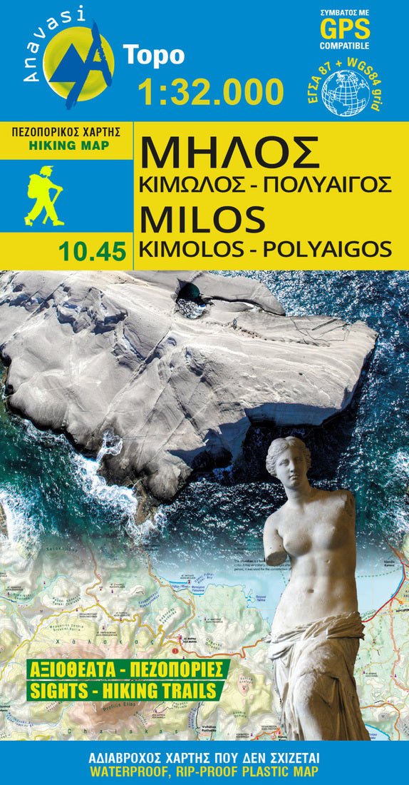
Milos - Kimolos - Polyvos Hiking Map
Milos - Kimolos - Polyvos Hiking Map
Regular price
$9.95 USD
Regular price
Sale price
$9.95 USD
Unit price
per
Shipping calculated at checkout.
Couldn't load pickup availability
- SKU: ANA_MILOS_KIM_POLY_HIKE_20
- Hiking map of Milos, Kimolos & Polyvos islands in a scale of 1:32.000 Milos and the archipelago which also includes Kimolos, Polyvos, Erimomilos and smaller islets such as Akradies, Glaronisia etc. belong to the volcanic arc of the southern Aegean. These volcanic islands have an extremely interesting geological history and geology, that is reflected in their landscapes. Places like Paliohori, Sarakiniko,Papafragas, Kleftiko, Firiplaka, Paliorema or Vani with their unique landforms or colors reveal a story accessible only to the initiated With this new map of Anavasi we propose to discover the marvelous beaches and unique monuments of Milos on one side and the beautifully conserved hinterland of Kimolos, with its lovely hiking trails, on the other.
- Type: Folded Map
- Subtype: Hiking
- Language: English, Greek
- Publication Date: 2020-01-01
- Scale: 1:32,000
- Regions Covered: Balkans, Europe, Mediterranean Sea
- Countries Covered: Greece
- ISBN: 9789609412407
- MPN: 13
- Folded Size: 4.5" (W) x 9.5" (H)
- Unfolded Size: 19" (W) x 26.6" (H)
- Weight: 1.4 oz
