Kiwi Maps
North Island
North Island
Regular price
$7.95 USD
Regular price
Sale price
$7.95 USD
Unit price
per
Shipping calculated at checkout.
Low stock
Couldn't load pickup availability
- SKU: KIWI_NI_MIN_23
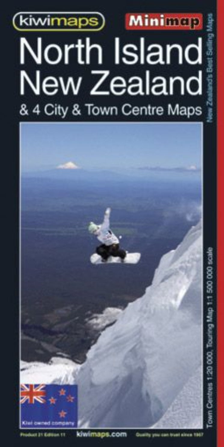
- New Zealand’s North Island at 1:1,500,000 on a handy size, indexed touring map from the country’s leading map publishers, Kiwimaps, with indexed town centre street plans for four cities, traveling times map, a distance table, etc. The road network emphasizes state highways and indicates tourist routes such as the Pacific Coast Highway, Thermal Explorer Highway, etc. Main railway lines and ferry lines are includes and local airports and airfields are marked. The base map has relief shading to show the topography, with plenty of names of mountain ranges, lakes and other geographical features. National Parks and protected areas are highlighted. The index is on the reverse and in addition to towns and cities also lists costal/water features, and ski fields/parks/land featues. Also included are a distance table and a small map showing traveling times. The map includes four panels with city centre street plans for Auckland, Wellington, Hamilton and Rotorua. The plans show one way streets and locations of various facilities, and are indexed.
- Type: Folded Map
- Subtype: Road
- Language: English
- Publication Date: 2023-06-01
- Regions Covered: Australasia, Oceania, Pacific Ocean
- Countries Covered: New Zealand
- ISBN: 9415871000751
- MPN: 21
- Folded Size: 3.94" (W) x 8.27" (H)
- Unfolded Size: 16.93" (W) x 24.02" (H)
- Weight: 2.45 oz
